Joost van Dalen
MSc student
Wageningen University & Research
Hello there!
I am Joost van Dalen, an environmental geographer studying at Wageningen University & Research. I have always been fascinated with maps and the environment and I am now making a full-time career out of both.
After finishing my MBO and BSc in Water Management, I enrolled in the MSc programme of Geo-Information Science. From here my goal is to integrate remote sensing technologies and water resources management to study water quality and water quantity issues in the aquatic environment.
Download my resume.
- Earth Observation
- Water Resources Management
- Data Visualization
-
MSc, Geo-Information Science
Wageningen University & Research
-
BSc, Aquatic Ecotechnology
HZ University of Applied Sciences
-
MBO-4, Watermanagement
Lentiz MBO Westland
Skills
Experience
Thesis title: “Floating Macroplastic in the Riverine Environment: Assessment and Application of Quantification Methods for Macroplastic Emissions”
Responsibilities include:
- Literature review related to the quantification of macroplastic in riverine environments
- Data wrangling and processing of >43,000 field-based measurements on macroplastic emissions in 40 different rivers
- Creating an easy-to-use application to gain information on the quantity, composition, and spatial-temporal fluxes of macrolitter and macroplastic
Responsibilities include:
- Data acquisition and management of open-source datasets in PostgreSQL/PostGIS for the Coastal Hazard Wheel Application
- Processing of spatial data using SQL (PostGIS), GDAL and Python
- Creation of webmaps for the Coastal Hazard Wheel, Dutch National Hydrological Instrument and the department of Infrastructure of the Dominican Republic using GeoServer
Responsibilities include:
- Research on implementation and design of exit facilities for humans and animals along the provincial waterways
- Writing of policy based on previous research
- Assisting in miscellaneous policy and maintenance activities
Projects

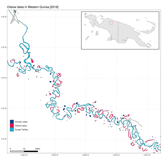
Identifying oxbow lakes from satellite data
Using SAR for distinguishing different water types ins western New Guinea

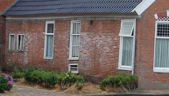
The Sinking Soils of Amstel, Gooi & Vecht
Soil subsidence in the water board of Amstel, Gooi and Vecht

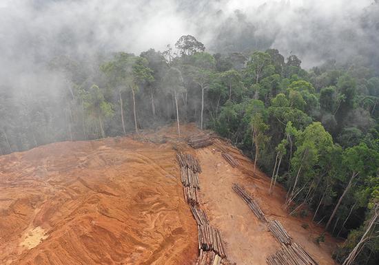
Terrain dependency of deforestation in Borneo
Research into the relationship between deforestation and slope/elevation

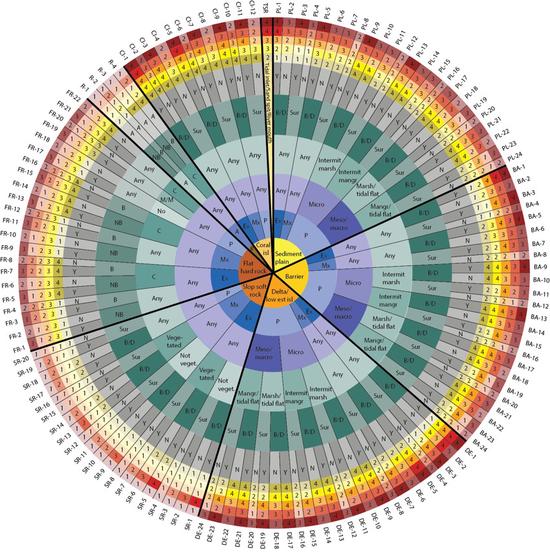
The Coastal Hazard Wheel Application
Coastal classification through the Coastal Hazard Wheel
Webviewer Dominican Republic
Interactive viewing of 300+ datasets